

WHEN the ENGLISH INVADED,
MOST AMERICANS were CATHOLICS
WHO SPOKE NORSE.

.
The Viking Waterway
connected the Red River watershed
to the Mississippi watershed
.
Thus creating a waterway capable of floating
small knarr boats with
crews fifteen or sixteen men
crews fifteen or sixteen men
on a Viking voyage from
the Hudson Bay to the Gulf of Mexico.
.
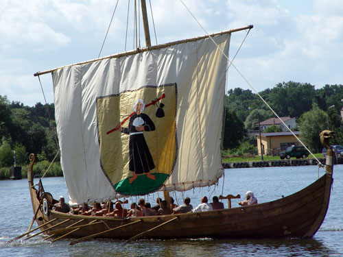
would be an example of the boat
that traversed America.
that traversed America.
.
The map above was made in 1928
by Hjalmar Holand.
by Hjalmar Holand.
It took until 1956 to publish the information
in "Explorers in America Before Columbus."
.
The triangles represent mooring stones.
.
Harbors, most man modified,
are seen via Google Earth
near each mooring stone.
.
A huge number of slaves
(Asia minor and Europe was full of slaves then)
may have been carried in by ship and boats
to modify the natural harbors
to enable the knarr to float on water
from Hudson Bay to the Gulf of Mexico.
.
traced the transcontinental waterway
February 28, 2010
.
No comments:
Post a Comment